Other Parts Discussed in Thread: AWR2944
Hi,
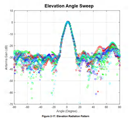
By test, I find that the elevation angle accuracy is very bad, what is the reason for that? The following is my data, the radar is on the ground about 0.5m, but from the picture we can see that the vertical ditance of the objects is much larger that 0.5m. It seem like that the the elevation angle is not computed accurately,what causes that?

In the above picture, the x axis is range,and the y axis is vertical distance.From the picture we can see that the vertical distance is very large , it is not identical with the truth.
BR
Rata