Tool/software: Code Composer Studio
Hi,
I'm using the 3d people counter on the IWR6843 board using the updated lab GUI (for 3d ) and cfg file.
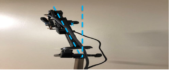
The radar is mounted on 1.8[m] tripod with ~10 degrees tilt in elevation ,towards the ground (as appears in the instructions)
The GUI stores the data sent through the UART.
each row of the stored data contains the following information:
target list, height and more.
target list contains Cartesian coordinates , velocity per axis, Dimension per axis. all per detected target.
- X
- Y
- Z
- Velocity X
- V Y
- V Z
- Dimension X
- D Y
- D Z
1. Can you explain what is the difference between Z to height ?
2.How height is calculated.
3.I've recorded a person walking at this configuration
Radar is placed at (x=0,y=0)
person starting point (x=2,y=4)
The person walks at angle of 45 degrees towards the radar at around 0.3[m/sec].
The height of the person is 1.68[m]
The used cfg file is attached.
The fHist.mat is attached
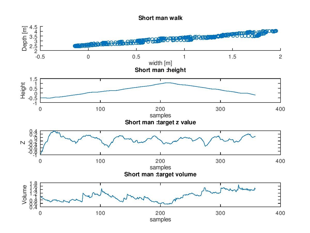
When examining the height and z values (from the matlab gui output file fHist.mat) along the detected targets, the values aren't stable.
Here i show the following:
- Top view of targets along the walk
- target height column values
- target z values
- target volume =Dx*Dy*Dz
Please explain why the the z,height ,and volume are not stable along the target's track.
Thank you
Gil


