


Other Parts Discussed in Thread: IWR6843
Hello,
I'm working with the Area Scanner Demo, toolbox 4.2.0. I get an output like this from a person standing: 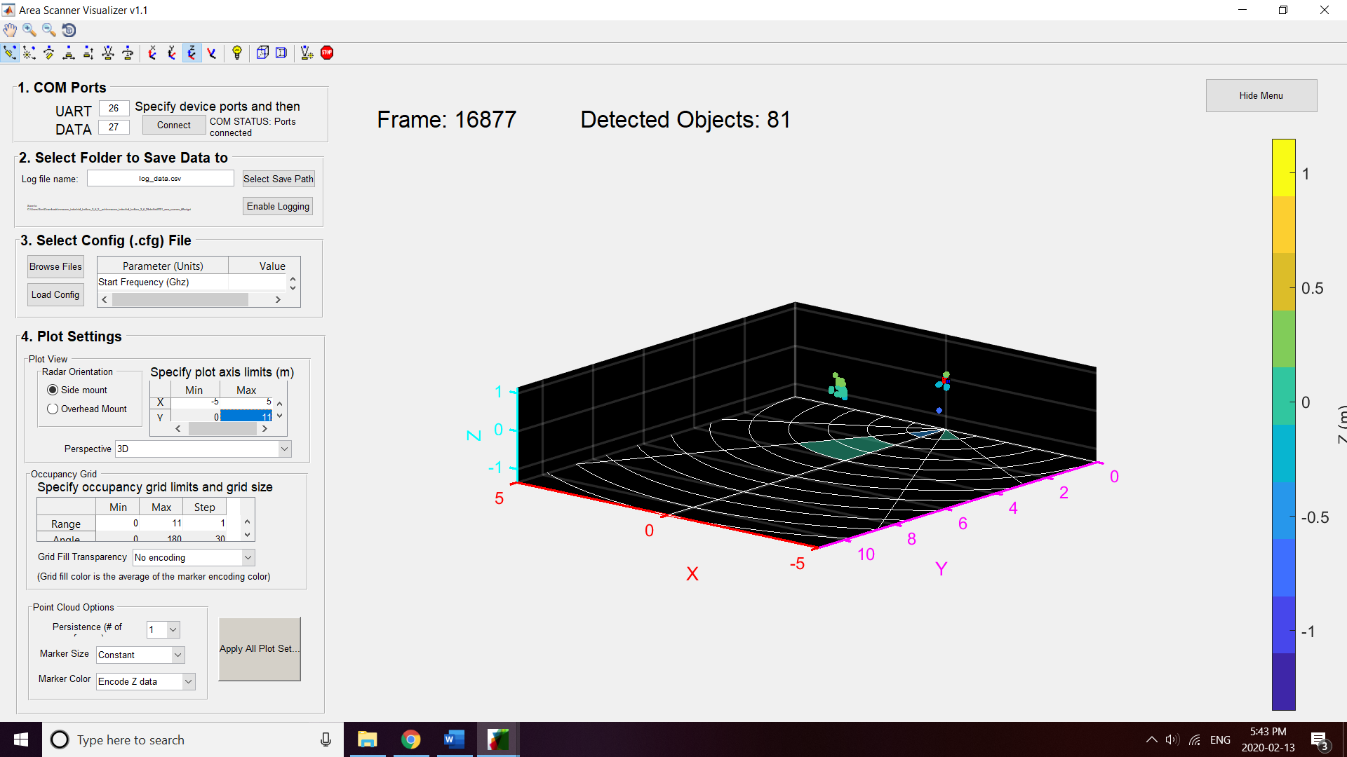
After studying the resolution of the IWR6843, this doesn't make sense. The azuthimal and elevation resolution are 28.6 degrees by the formula in the application note, since they each have four virtual antennas spaced by lamba/2. 28.6 degrees resolution is approximately represented by the polar grid in the x,y plane. So how can we have detected points at tighter resolution than the theoretical limit?
