This thread has been locked.

If you have a related question, please click the "Ask a related question" button in the top right corner. The newly created question will be automatically linked to this question.

IWR6843ISK-ODS: elevation range

Part Number: IWR6843ISK-ODS

Hi,

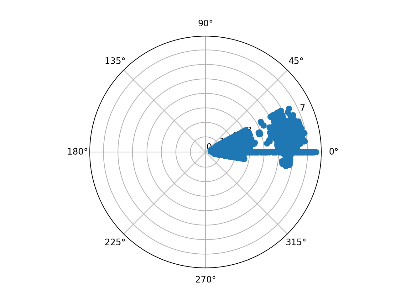
The demo I'm running is 3D_people_counting.It seems that the elevation angle range is -9.74 degs to 28.64 degs,0 is not the center,which means the 0 degs in elevation is not perpendicular to the radar board.

Is there any explanation about this?

Thank you.

  • Hi Zezhong,

    1. You have not provided details about the orientation/mounting of the mmWave EVM, without which it is hard to comment on your observation.

    2. Are you using the GUI provided with the 3D People counting GUI or is this your own custom GUI?

    3. Please run the Range Bias and Rx Channel Gain and Phase calibration procedure to calibrate the configuration file for your EVM. This is explained in the Pre-requisites section of the 68xx - Overhead 3D People Counting Demo. While the process is explained in context of the overhead people counting demo, please follow it similarly for the 3D people counting demo and update the 3D people counting demo configuration file with the values returned by the calibration procedure as described. Once you have the configuration file calibrated for your EVM, re-run the demo with the updated configuration file.

    Regards

    -Nitin 

  • Hi Nitin,

    Sorry I didn't state clearly.

    1.We flushed /ti/mmwave_industrial_toolbox_4_3_2/labs/people_counting/68xx_3D_people_counting/prebuilt_binaries/3D_people_count_68xx_demo.bin.We write our own program to receive point cloud.The picture I uploaded shows the raw polar coordinate data obtained from the radar.

    2.We're using our own GUI.

    3.I have tried your method.However,after I pasted the calibrated values into the ODS_6m_default.cfg,there is no point from the radar.I have also tried the 3D People counting GUI with the calibrated .cfg file, still no point.

    Some values the calibration procedure described are as follows,I tried them all.

    compRangeBiasAndRxChanPhase 0.1082086 0.35703 0.42377 -0.60025 -0.38098 -0.49780 -0.45084 0.32687 0.52045 0.84171 0.44357 -0.90781 -0.32629 -0.84439 -0.53571 0.64651 0.51709 0.39859 -0.37460 -0.65674 0.66727 -0.48608 0.54120 0.56152 -0.24951
    
    compRangeBiasAndRxChanPhase 0.1284061 0.41068 0.03705 -0.32983 0.35724 -0.50845 0.25827 0.50562 0.06671 0.69717 -0.01340 -0.78860 0.61490 -0.76508 -0.42810 0.46414 0.15274 -0.09869 -0.27661 0.48203 0.44522 0.33588 0.36505 -0.12341 -0.48602
    
    compRangeBiasAndRxChanPhase 0.1232318 0.13425 -0.04330 -0.18134 0.19644 -0.16473 0.21362 0.18378 -0.06375 0.19275 -0.09653 0.20856 0.88007 -0.14926 0.98880 0.23215 -0.08719 -0.09372 -0.10004 0.18585 -0.09998 0.12500 0.02280 -0.14487 -0.06750
    
    compRangeBiasAndRxChanPhase 0.0975196 0.05783 0.36447 -0.32211 -0.39804 -0.26813 -0.54105 0.06973 0.44083 0.30054 0.71088 -0.70804 -0.46262 -0.68707 -0.72656 0.43533 0.56784 0.43683 -0.30679 -0.40607 0.60080 -0.50742 0.59100 0.51633 -0.32349
    
    compRangeBiasAndRxChanPhase 0.2674826 -0.14905 0.11694 0.12354 -0.12610 0.19290 -0.07245 -0.18073 0.08356 -0.21951 0.16370 0.19788 -0.14963 0.29819 -0.08218 -0.35672 0.21567 -0.77625 0.63043 0.16800 -0.34839 0.25375 0.03543 -0.51678 0.07858
    
    compRangeBiasAndRxChanPhase 0.2106064 -0.18222 0.01172 0.28436 -0.07452 0.33786 0.07339 -0.21896 -0.01901 -0.25699 -0.09735 0.60202 -0.63049 0.56000 -0.60114 -0.99841 0.05624 0.34024 -0.08020 -0.30844 0.05133 -0.32138 0.04852 0.24084 0.05557
    
    compRangeBiasAndRxChanPhase 0.1241584 0.06378 0.31665 -0.12259 -0.35532 -0.10599 -0.51047 -0.01752 0.31030 0.21756 0.51843 -0.38208 -0.56842 -0.37708 -0.92618 0.16632 0.45117 0.37531 -0.21579 -0.74469 0.50586 -0.04077 0.62384 0.44186 -0.17426

    Thank you!

  • Hi Zezhong,

    Looking at the graph and the measurements, it appears that the elevation FOV is 38.38 degrees, which is just about the 40 degrees we would expect - however, this FOV is offset from center. Have you checked the .cfg file to see if you are programming any elevation offset into the device? In the default config. see the line:

    sensorPosition 2 0 10

    Which indicates that the elevation is offset 10 degrees up, to make up for a 10 degree downtilt. You are seeing points roughly from -10 to 30 degrees, which centers at 10 degrees - please try changing this line to zero and seeing if the issue is resolved.

    Regards,

    Justin

  • Hi Justin,

    Thank you very much!It helped a lot.

    Is there any documentation that introduces this part of the .cfg file?

  • Hi,

    Please see the document: 3DPeoplecountingDemo_ConfigurationDetails.pdf as well as the user's guide.

    Regards,

    Justin